


 How to survive a tsunami in Crescent City, California
How to use this map
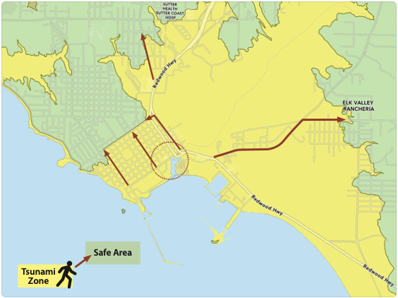
Locate where you live, work, and play. If you are in the yellow area and need to evacuate, get to higher ground as soon as possible — GO ON FOOT. Roads are likely to be impassable.
Official warnings
You may not feel a large earthquake from far away. Notifications that a Tsunami Warning has been issued may come via Wireless Emergency Alerts, TV, radio stations, door-to-door contact by emergency responders, NOAA weather radios, or in some cases, by outdoor sirens and announcements from airplanes. Sign up for County Alerts.
Natural warnings
Ground shaking, a loud ocean roar, or the water receding unusually far exposing the seafloor are all nature’s warnings that a tsunami may be coming. If you observe any of these warning signs, immediately walk to higher ground or inland. A tsunami may arrive within minutes and damaging surges are likely to occur for at least 12 hours or longer. Stay away from coastal areas until officials permit you to return.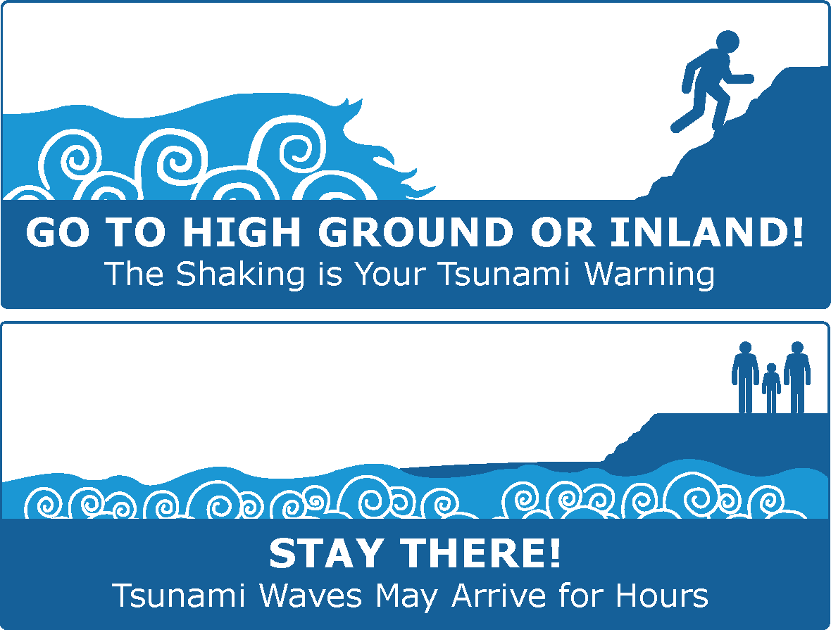
Be prepared
• Know the best evacuation route — practice walking your route.• Keep a “grab and go” survival kit by the door.
• Create emergency plans with family, coworkers, and neighbors.
• Consider how to evacuate pets — such as leashes and crates.
• Prearrange assistance from neighbors if you need help evacuating.
• Time is of the essence! The largest tsunami will come from an earthquake you will feel. Evacuate as soon as you can safely move.
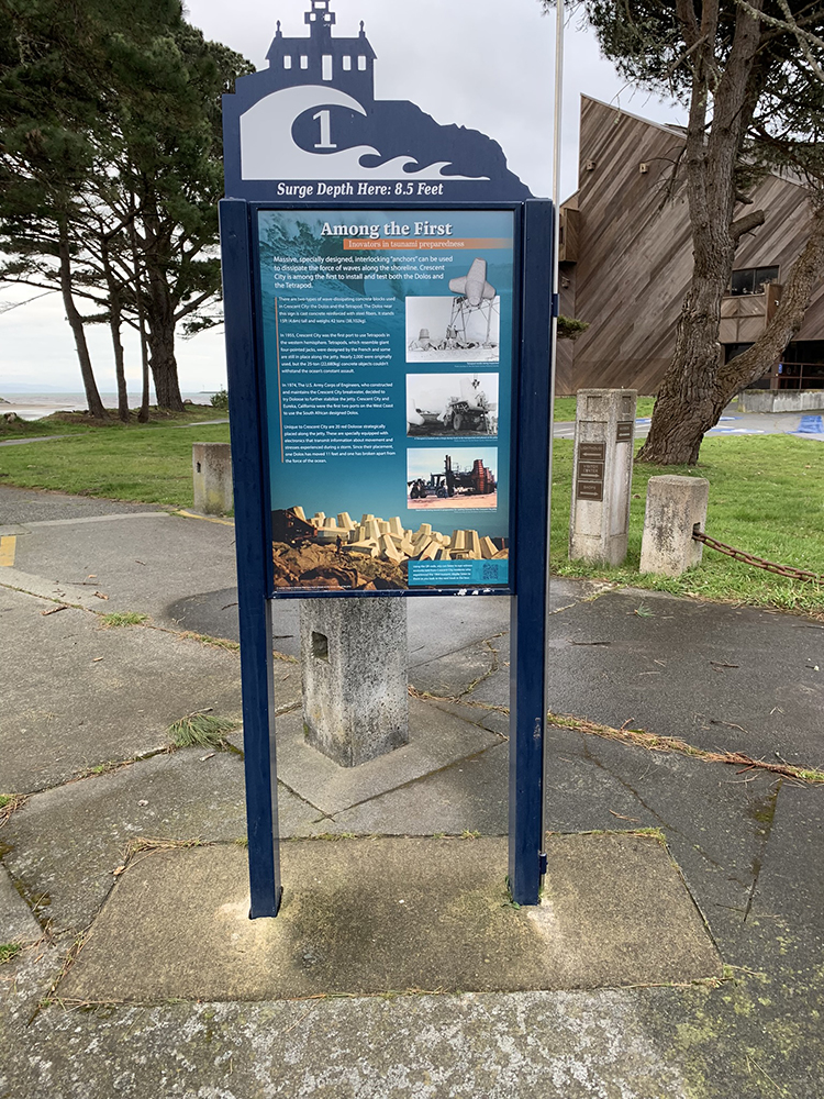
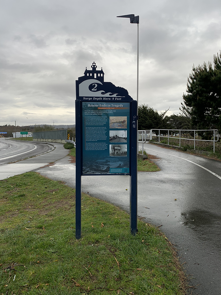
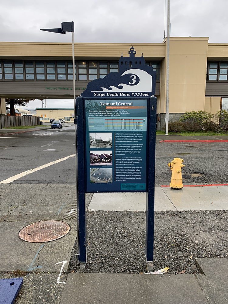
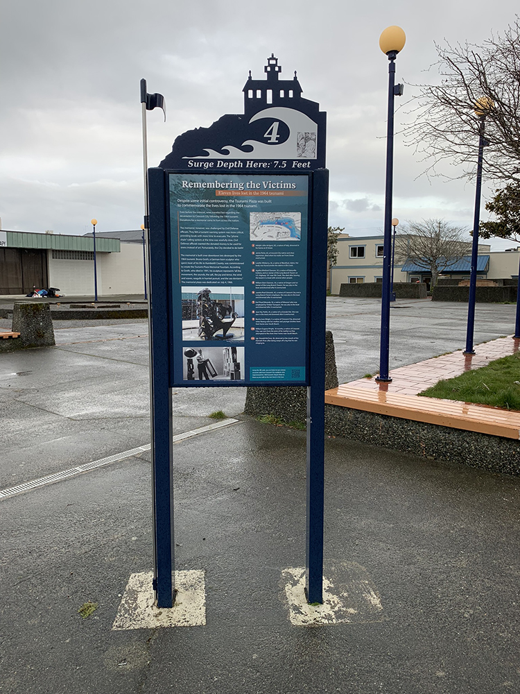
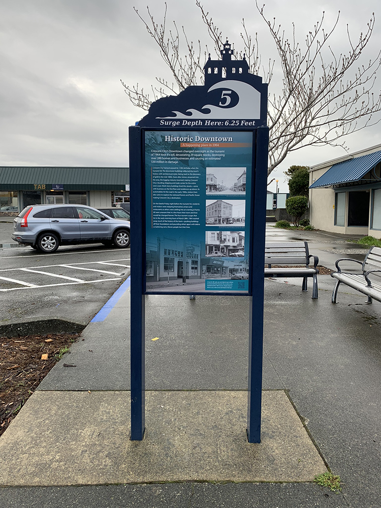
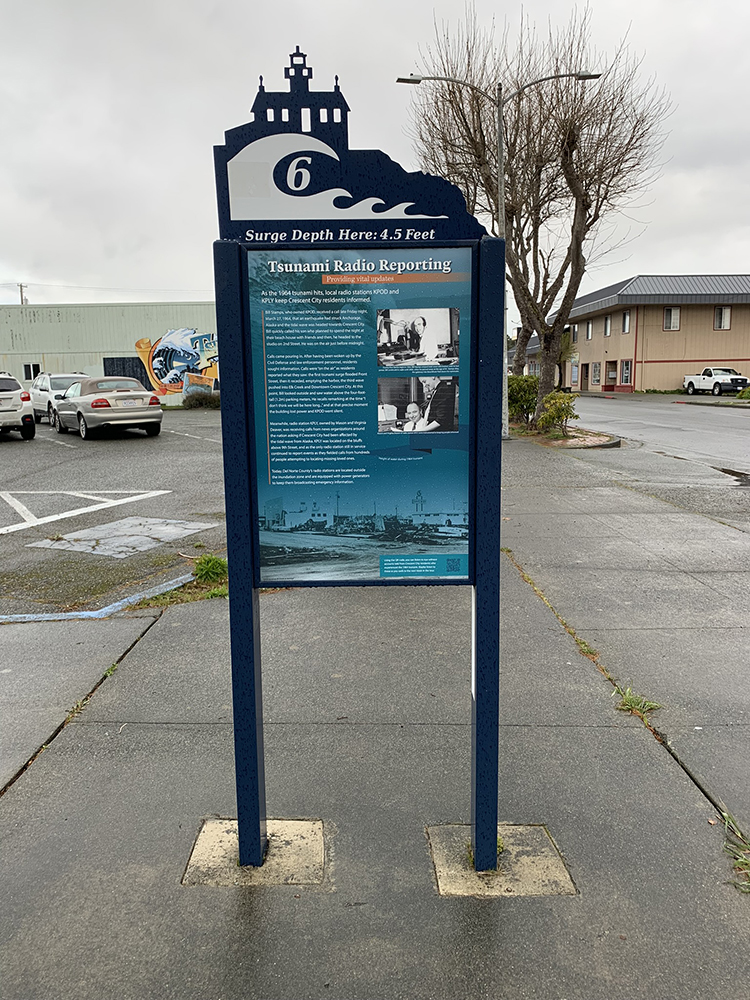
Tour StopsImage gallery
 |
 |
 |
 |
 |
 |
 |
 |
 |
tour introSound clips
Warning siren when a Tsunami event occurs.
1:00 minute long
Tsunami Tour IntroMovie clips
Tsunami preparedness.
10:06 minutes long
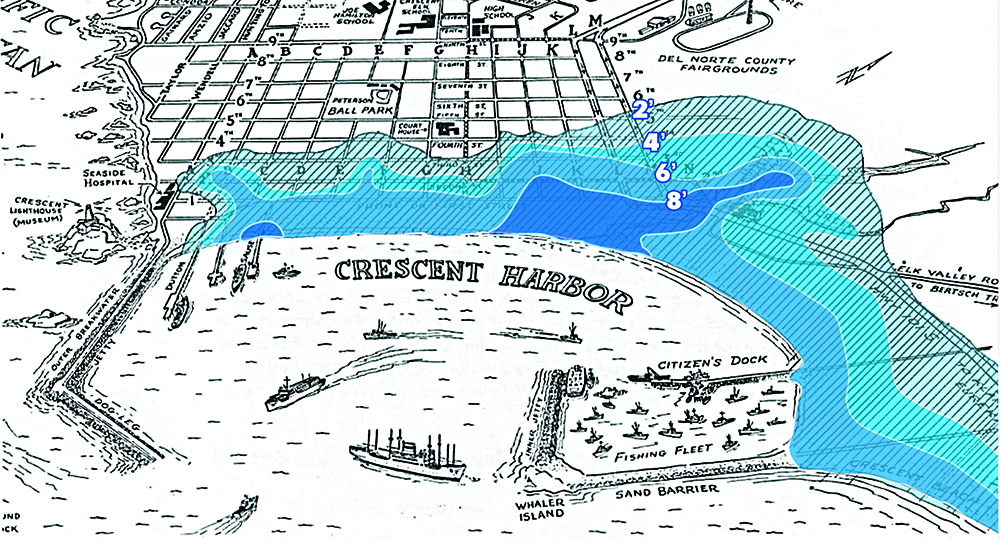
tour intro mapWater levels in crescent city
during the 1964 Tsunami
 Tsunami Walking Tour
Supporters
Bicoastal Media, Inc.
College of the Redwoods
City of Crescent City
Cholwell, Benz & Hartwick
Crescent City/Del Norte County
Chamber of Commerce
Crescent City Downtown
Business Improvement District
Crescent City Rotary Club
Darren McElfresh
Del Norte County Office
of Emergency Services
Del Norte Office Supply
Del Norte Sunrise Rotary Club
The Del Norte Triplicate
Gastineau Family Trust
Mary Dorman-State Farm Insurance
Harley & Jill Munger
Lighthouse Repertory Theatre
National Oceanic &
Atmospheric Administration, Eureka
Pacific Power
Recology Del Norte, Inc.
Redwood Coast Tsunami Team
Redwood Mural Society
Rural Human Services
Sutter Coast Hospital
Uncharted Shores Academy
Special thanks for providing photos and research goes to the Del Norte Historical Society